For the Love of Walking
Cherry Pie Walks

A Delfryn Design web site. Last updated 21 February 2019. Our Cookies Policy.
Cherry Pie Inn
From the Cherry Pie Inn a number of footpaths and tracks radiate out into the surrounding countryside. These are the survivors of the ‘Mill Lanes’ used by farmers over the centuries to bring their corn for grinding by the local miller. Set off along these lanes and footpaths and you are soon into wheeler countryside, walking paths that have been used for a very long time. For the last 30 years David has walked these paths. He has selected 10 of his favourites, ranging from a 30 minute stroll to a full day’s walk to Offas Dyke. All walks have been tried and tested by David during his 88th year.
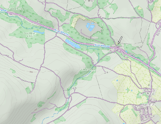
All our walks start from the Cherry Pie Inn which can be found mid way on the Mold to Denbigh Road (A541) at Melin y Wern. Whatever path you take, leave only your footprints.
Postcode: CH7 5RH. Phone: 01352 741279.
Walk 1 : 1.7 miles climbing 217 ft.
Walk 2 : 1.8 miles, climbing 117ft
Walk 3 : 4 1/2 miles, climbing 391ft
Walk 4 : 1 3/4 miles, climbing 214ft
Walk 5 : 3 miles, climbing 600ft (or optionally, 5 ¾ miles, climbing 906ft).
Walk 6 : 4 ½ miles, climbing 631ft. Including visit to the Y Ddol Nature Park.
Walk 7 : 3 1/2 miles, climbing 453ft. The “Three Mills Walk.”
Walk 8 : 3 miles, climbing 487ft
Walk 9 : 4 1/4 miles, climbing 555ft. Including the Fisheries Lake and Y Ddol Nature Park.
Walk 10: 7 1/4 miles, climbing 1,282ft, Including Pen-
ViewRanger
All routes are available on the ViewRanger app. which runs on Android phones, tablets and Android Wear Smart Watches, iPhone, iPad and Apple Watch.
The basic app and routes are free to use. You can purchase premium maps such as OS 1:50,000 (the old 1 inch to the mile, recommended) at very reasonable prices, or use free online maps. Every ViewRanger user has access to the free online maps listed below, which cover the whole world and can all be saved for offline use, so you can use them without phone signal in even the most remote locations.
OpenCycleMap
ViewRanger Landscape Map
Satellite
Ski Map
Transport Map
Never get lost, always know precisely where you are.
If you find any errors in the guidance for these walks please let us know so that we can correct them.